Directions

Seward Highway Travel Log

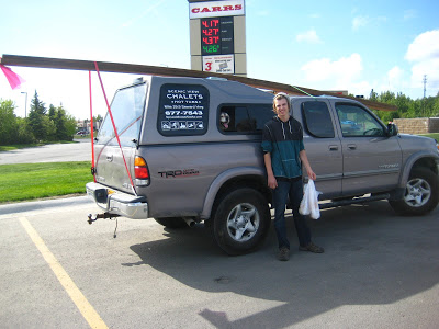
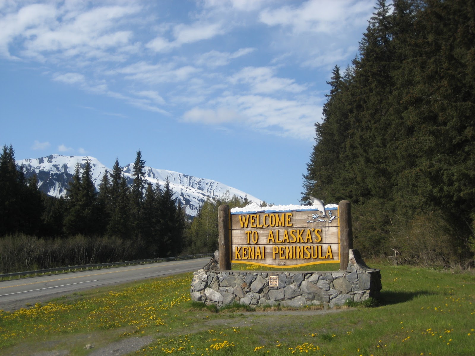
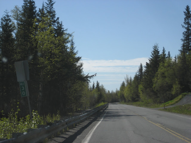
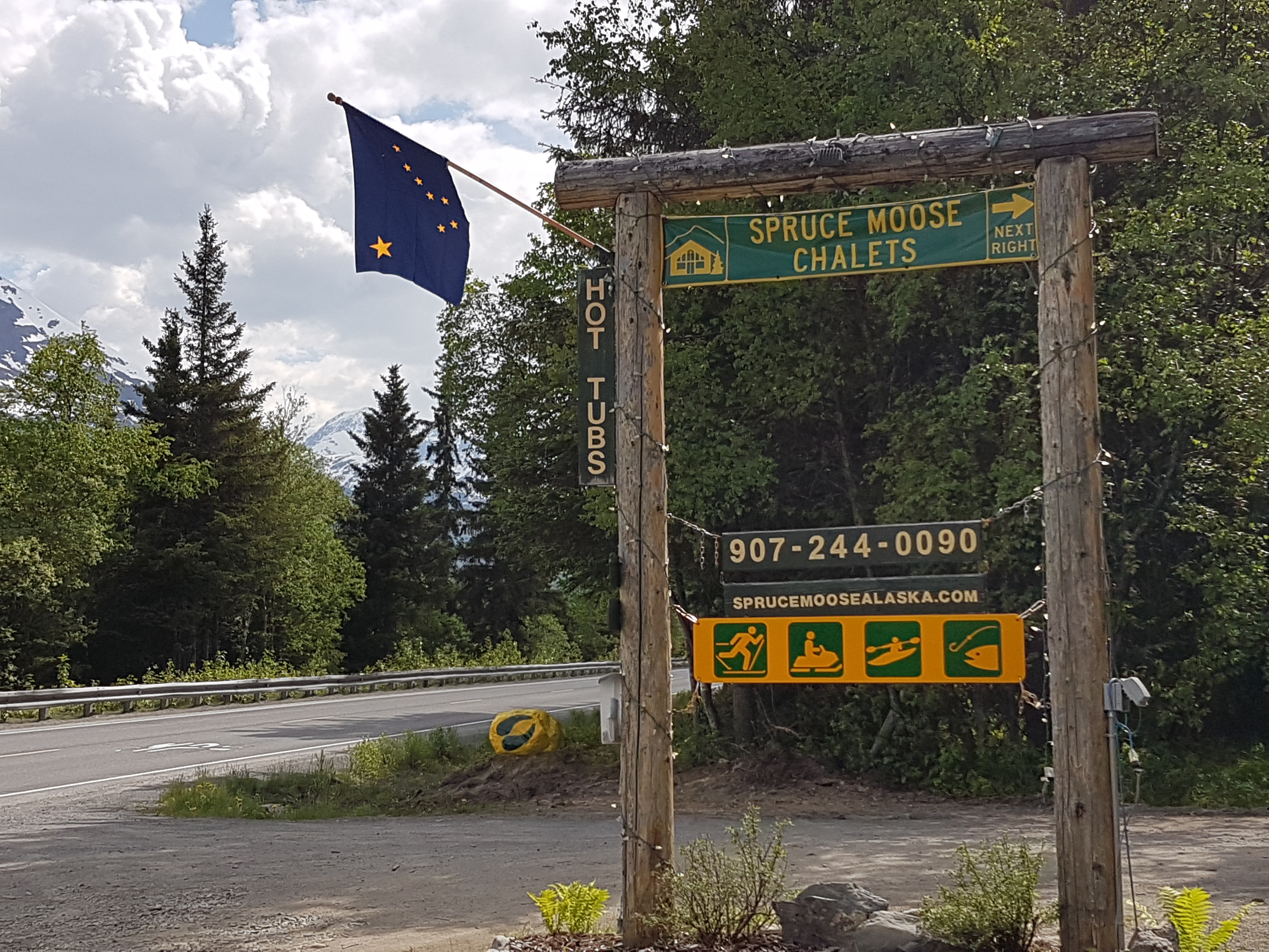
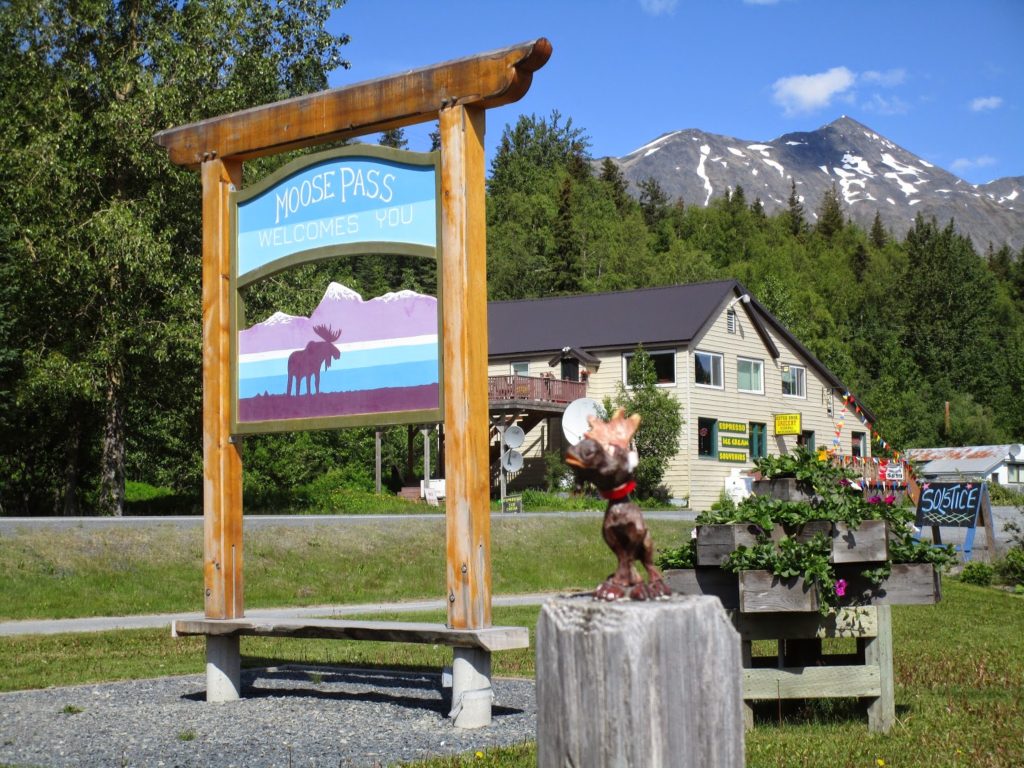
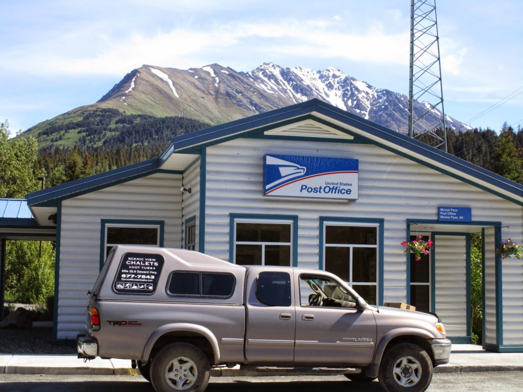
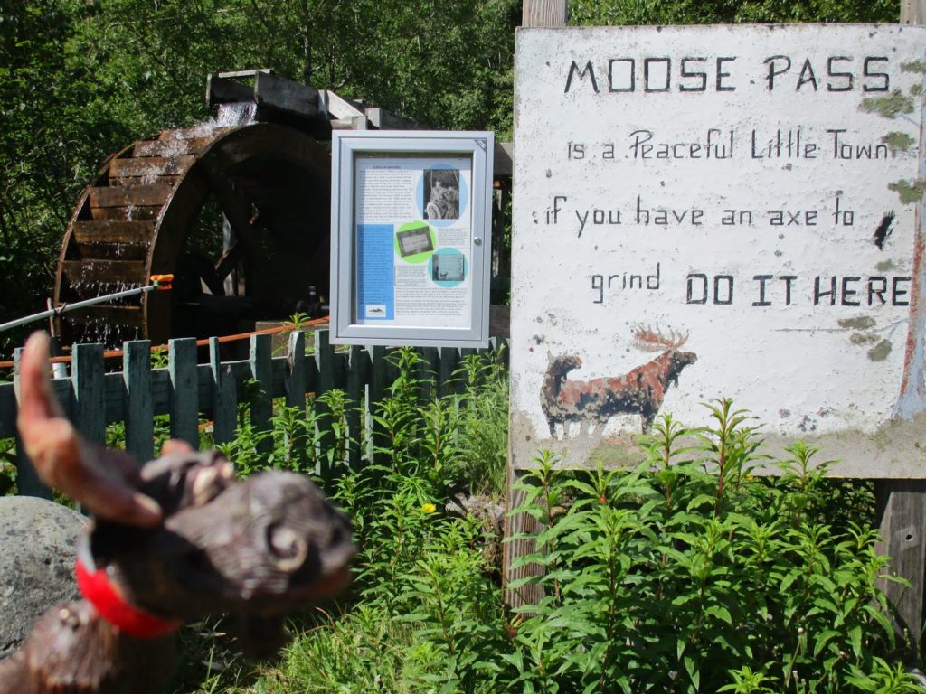
The chalets are in Moose Pass, Mile 29.9 of the Seward Hwy (30 miles from Seward)

Our Address is 35975 Seward Hwy, Moose Pass 99631.

Finding the Chalet (Click Here)

Arrival Instructions (Click Here)

GPS coordinates:
N60 29.974
W149 22.360
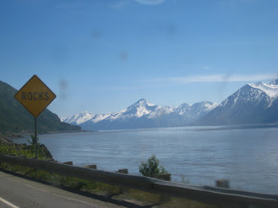
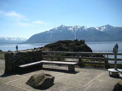
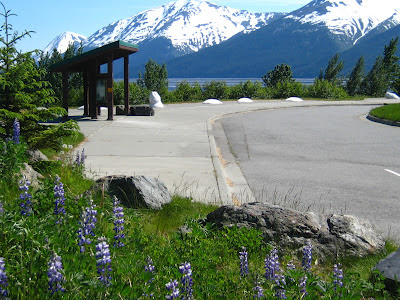
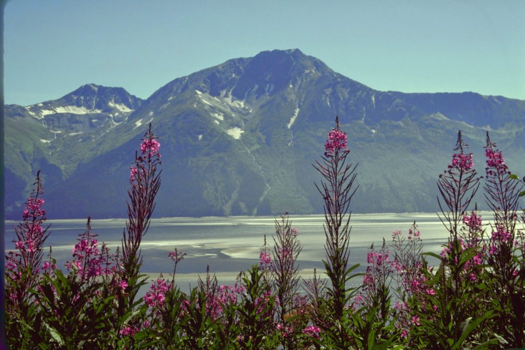
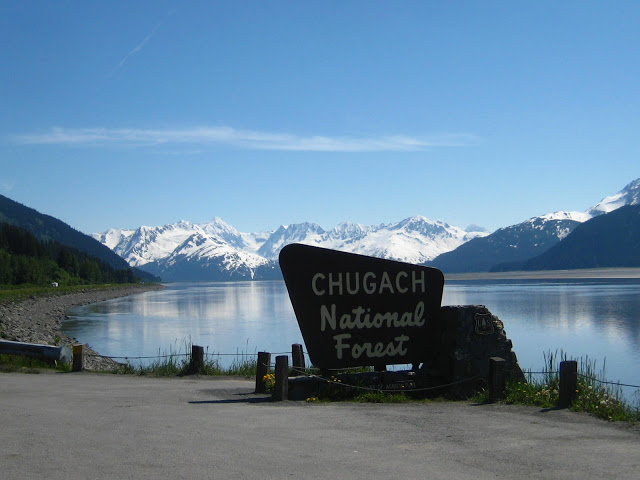
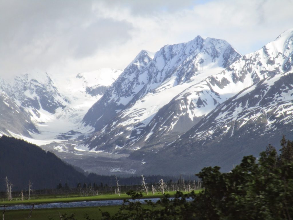
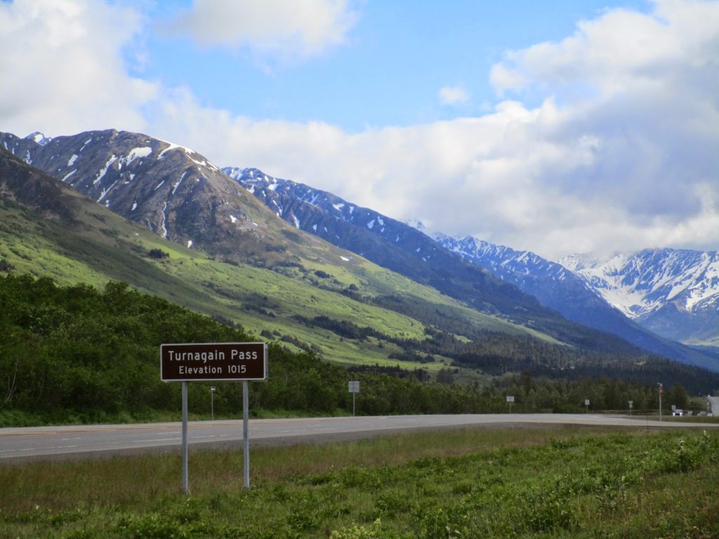
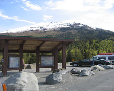
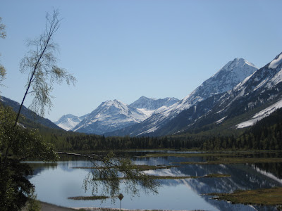
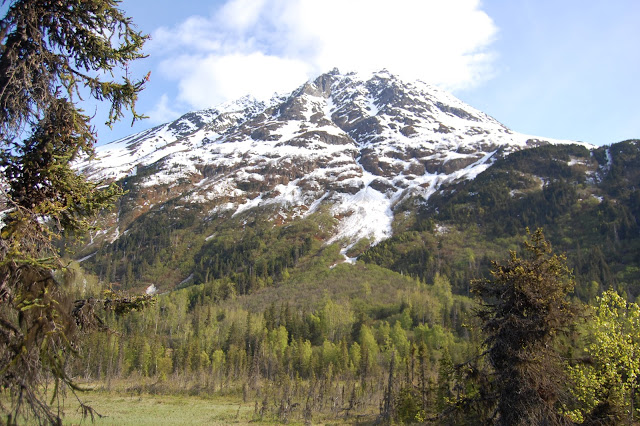
We are 90 miles south of Anchorage – normally 1.5 hours of straight driving. There are several things to see along the way so take your time and enjoy!

IF YOU HAVE A RESERVATION, GIVE US A CALL AT THE NUMBER PROVIDED YOU WHEN YOU’RE LEAVING ANCHORAGE TO ARRANGE CHECK-IN.
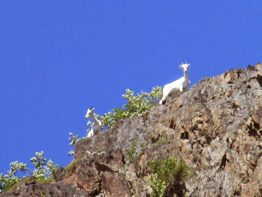
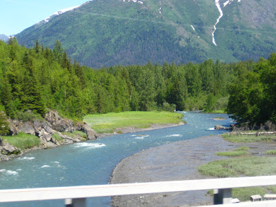
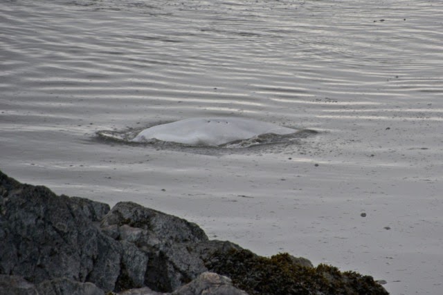
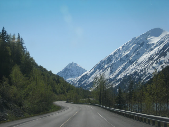
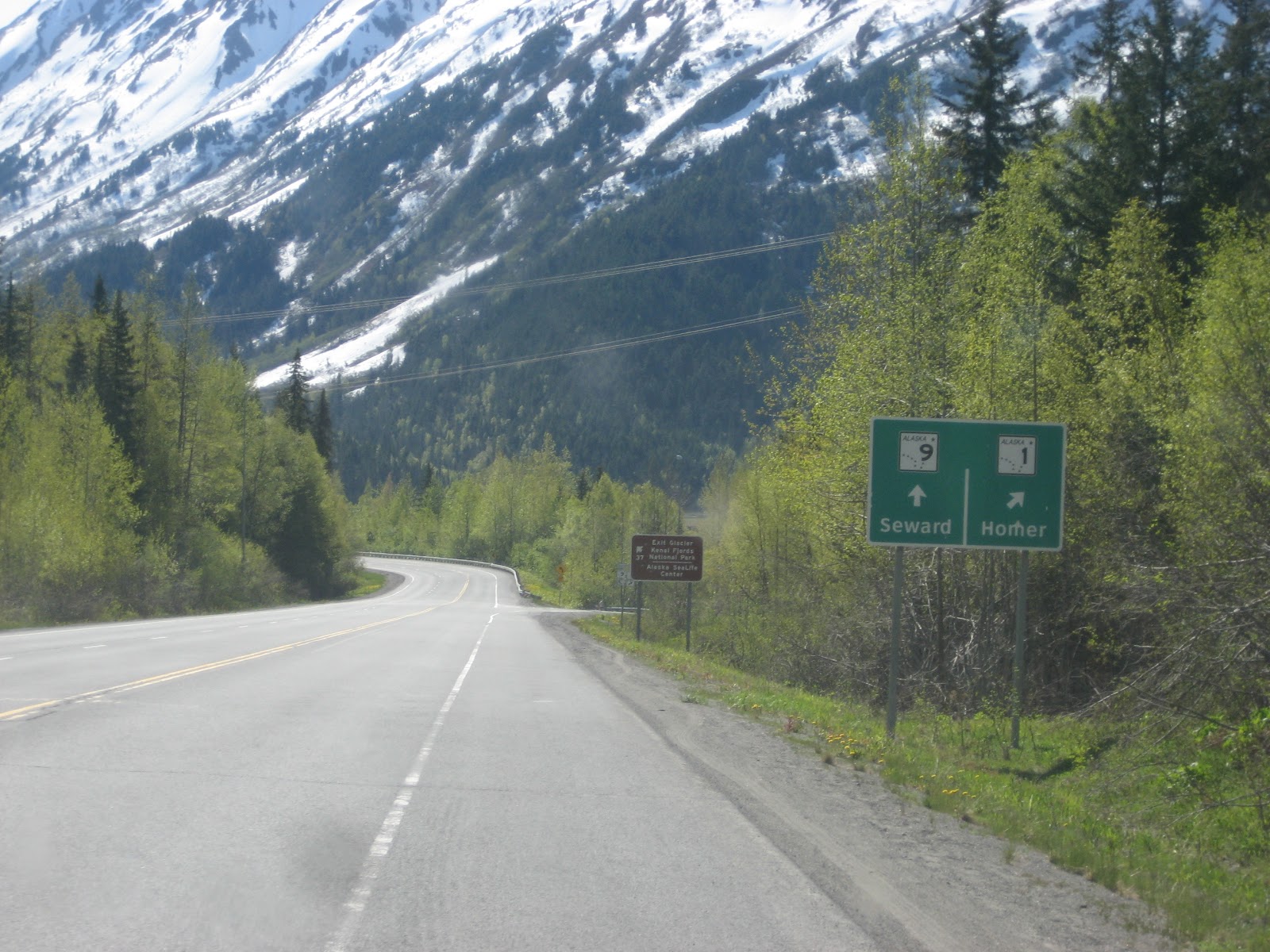
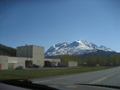
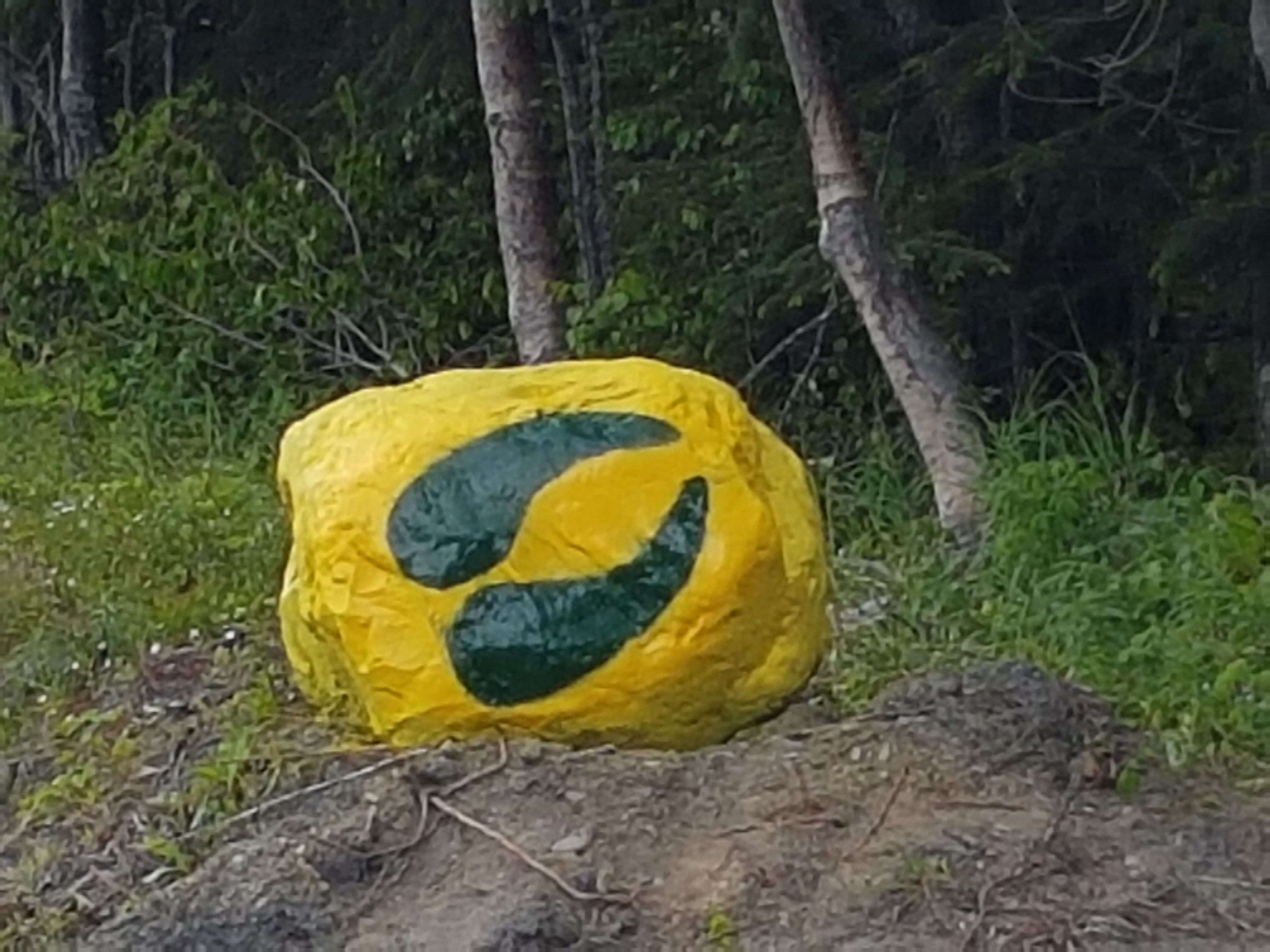
You’ll want to take it slower. Here’s what you’ll see along the way and how you’ll know you’re there:Leaving from Anchorage there is only one road out-of-town, just find the New Seward Highway in Anchorage and head south.

Gasing up at Huffman Rd & the New Seward Hwy in South Anchorage summer 2012. This is the last gas in town. (the gas prices are higher at the two stations farther south in Bird Creek and Alyeska Hwy Jct. No more gas then till Seward.)
Driving along fjord-like Turnagain Arm
Beluga Point
Beluga Point- 3000 year old archaeological site used by the first Alaskans as a whaling look-out. Mile 101.4 (“Hey”, you say: “Those telescopes don’t look three thousand years old!” O.K. I’m no archaeologist- I just read the informational signs like everyone else.)
As you are driving along, you may be watched! Scan the rocks from mile 115 to 101 for Dall Sheep.
Two rams in the bushes. Mile 106+- look for the Windy Corner sign- there’s pull out and trail that parallels the highway up on the mountainside.
Stop and pan for gold at Indian Valley Mine mile 103 (and see a whale skull up-close, too!)
Bird Creek mile 101.5- Pink and Silver Salmon fishing in season. If there’s a crowd, the fish are in!
Stop and pan for gold at Indian Valley Mine mile 103 (and see a whale skull up-close, too!)
Beluga whales seen from the highway.
Beluga whales stuck in concrete! Bird Point wayside mile 96.5-boardwalk and short trails.
Home of Mt Alyeska Ski Resort Mile 90 – and last gas before the chalets and till Seward.
Mt Alyeska Ski resort (on the mt. on the left)- take the tram to the Round House Museum and cafeteria or Seven Glaciers Restaurant or just sight see
See the effects of the ’64 Good Friday Earthquake along the hwy- here a forest killed when the land sunk 10 ft and the tide came in.
From here on you’re in one of the largest National Forests in the country, about mile 96
Turnagain Arm Boretide, A tidal phenomenon seen only three places on earth.
This is one of the biggest in the world- all other bore waves run up low-lying rivers in more southerly latitudes. The Turnagain Arm bore wave is the only one that occurs in the far north and the only one bordered by mountains, making it the most unique and most geologically dramatic bore tide in the world. It’s also amazingly accessible: you can see it by road along its entire 40- to 50-mile length. And it’s a wildlife-spotting opportunity: harbor seals often ride the tide into Turnagain Arm. Beluga whales may come in a half hour or so later once the water gets deeper.
Tidal bores occur on Turnagain Arm every day, but most produce relatively modest waves. Your chances for seeing a large bore are best during the five-day window that surrounds the new and full moons. During this window, get the times for the two Anchorage low tides occurring each day either from tide books available at gas stations and in porting goods departments or online. The bore tide should reach Bird oint 2 hrs and 30 minutes after Anchorage/Fire Island low tide. If the ind is blowing down the arm (the way it always blows—just look at how the trees grow), add another 10-15 minutes. You can watch the bore go by t the first pullout, then drive your car down a pullout or two and watch it come by again. It takes over five hours for the bore to travel from the mouth of Turnagain Arm to the end of it.
https://www.whittieralaskachamber.org/
Portage Glacier 1989- Mile 78.9 circa 1970
Portage Glacier -Chugach National Forest Visitor Center
Place River valley and a hanging glacier seen from the highway mile 77 or so.
Mile 75 Bottom of Turnagain Pass and you’re on the Peninsula, and halfway to the chalets (45 more miles to go). Pull over, take a group picture and text us on the phone number you were sent (you’ll lose cell reception in 1000 ft.). No cell reception now for about 30 miles.
Turnagain Pass looking North in Spring
Same view summer
Up and over the pass- not that high, but already at brushline
Get out and stretch your legs on short trails over rolling tundra carpeted with wild flowers from pullouts on both sides of the road- still forty miles to the chalets. Restrooms.
It’s Road Construction season. Check www.511.alaska.gov before heading out.
Canyon Creek Bridge mile 56
Canyon Creek pullout -26 miles to the chalets- marathoners can start running here (more restrooms)
Summit Lake Lodge and gift shop. 16 miles from the chalets. Stop here to get ice cream, pick up a pizza, scones, or desserts. Or have a delicious lunch or dinner in the restaurant.
View of Summit Lake from the deck.
First view of LV Ray Peak – the mt. behind the chalets, Jerome Lake on the right.
Seward-Sterling Highways “WYE” The only place you can make a wrong turn – but ONLY if you turn. Maintain heading and slow for the curve to the left headed for Seward.
Tern Lake over-look
Tern Lake
LV Ray north face over Moose Creek
Trail Lake Hatchery- mile 33 stop and see the little fishes (salmon fry) Lark Mt. in the background
Mile 31 -Reduce speed- you’re close now.
Mile 30 – slow down and prepare to turn right – at the next clear driveway past the one you see here.
You’ve arrived! Enjoy your stay!
Closeup of the Rock Sign at the road.
9 tenths of a mile farther is the “town” of Moose Pass. Here’s the Spruce Moose at “town center.” There’s a small store…
Trail Lake Lodge- restaurant and bar…
A Post Office…
A church…
and a water-wheel with a grind stone. Here’s the Spruce Moose checkin’ out the only Local Ordinance.